
Looking for a Blank Map Of The United States To Print? You’ve come to the right place! Whether you are a teacher needing classroom resources, a student studying US geography, or simply someone who needs a clear outline of the United States, our collection of printable US maps is perfect for you. These maps are designed for easy download and printing, making them a fantastic tool for educational and personal use.
We offer a variety of United States maps, all available in convenient PDF format for easy printing on standard home or office printers. Explore our selection to find the perfect blank map of the United States to print for your specific needs.
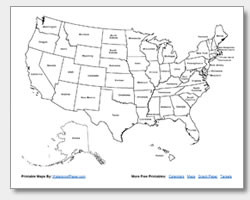
 Blank Printable Map of the United States
Our blank map of the United States to print is an excellent resource for anyone needing a basic outline of the country. This map clearly shows the shape of the US without state borders or names, making it ideal for quizzes, coloring activities, or for projects where you need to highlight specific regions or routes. Teachers can use this map to test students’ knowledge of state locations or as a fun activity to improve geographical awareness.
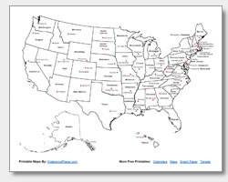
 Printable US Map with State Names for Educational Use
For those who need a bit more detail, our printable US map with state names is a valuable tool. This map includes all state borders and clearly labels each state, making it perfect for studying state names and locations. It’s a great resource for students learning US geography, helping them to identify and remember the names and positions of each state. This map is also useful for anyone planning travel within the US and needing to visualize state boundaries.
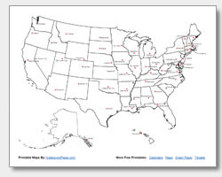
 US Map with State and Capital Names for Learning Geography
Take your geographical knowledge a step further with our US map with state and capital names. This detailed map not only labels each state but also includes the name of each state’s capital city. This is an essential resource for students learning both states and capitals, providing a comprehensive view of US geography. Teachers can use this map for more advanced geography lessons or as a study aid for tests.
 Printable State Capitals Map for Students
If your focus is specifically on state capitals, our printable state capitals map is designed just for that. This map highlights the location of each state capital within the US, making it easier to study and memorize capital cities. It is a specialized map ideal for quizzes focused on capitals or for anyone wanting to deepen their understanding of US capital locations.
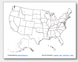 State Capital Location Map for Reference and Study
For a more visually distinct guide to capital cities, the state capital location map uses clear markers to pinpoint each capital. This map is particularly helpful for quickly identifying the geographical position of state capitals and understanding their distribution across the United States. It serves as an excellent reference tool for both educational and general interest purposes.
All of our maps are free to download and print, allowing you to easily access these valuable resources whenever you need them. Whether for educational activities, personal learning, or as a handy reference, our blank map of the United States to print and its variations are here to assist you. Download your preferred map today and start exploring the geography of the United States!